drone services

(954)833-5174

Construction Progress

Skylens 360 provides aerial imagery and 3D modeling to help construction teams track progress, detect issues early, and deliver clear reports to stakeholders. Our drone services keep projects efficient, transparent, and on schedule

Thermal Imaging

Skylens 360 uses drone-mounted thermal imaging to detect heat loss, moisture intrusion, electrical hotspots, and equipment issues across buildings, construction sites, and infrastructure. It’s a fast, non-invasive way to spot problems early and improve safety and efficiency

Pre Construction Planning

Skylens 360 supports smarter construction planning with high-resolution aerial surveys and 3D site models. Our drone data helps teams assess terrain, optimize site layout, and identify risks before work begins—saving time, reducing costs, and improving project accuracy.

Buildings and Roofs

In construction, drone roof inspections boost safety by removing the need for physical roof access. They enable faster, more efficient assessments using high-resolution imagery and thermal data to detect leaks, cracks, and structural issues. Drones cut inspection time and costs, enhance accuracy, and support proactive maintenance without site disruption.
Aerial view of Lagos city showcasing dense urban housing, roads, and buildings with visible green areas.

Aerial Mapping

Aerial mapping is the process of capturing high-resolution images from drones to create accurate, georeferenced maps and 3D models of terrain, structures, and infrastructure. Unlike traditional ground surveys, aerial mapping offers a faster, safer, and more cost-effective way to visualize and measure large areas

Agriculture

Agriculture drone inspections boost farming efficiency with real-time aerial data on crop health, soil, and irrigation. Advanced sensors detect plant stress, disease, and pests early, enabling timely action. Drones optimize water and fertilizer use, reduce waste, improve yields, cut labor costs, and support sustainable, large-scale farm management.
Progress Monitoring/In Progress

Amazon Warehouse

Pre Construction Planning

Florida International University

Roof Inspection

Boynton Beach, FL

Tell Us About Your Project

Describe your project and tell us what kind of footage or photos you want to be captured.

We'll Schedule a Flight

After confirming your project details & requirements, we’ll send a pilot to your specified location, wherever it is you need us.

Download Your Aerial Imagery

For construction projects, we deliver your drone-captured photos and videos within 48 hours of the shoot, providing easy access and downloadable files to support timely project updates and documentation

Talk to us

Have any questions? We are always open to talk about your business, new projects, creative opportunities and how we can help you.
David Ashley
David Ashley
Read More
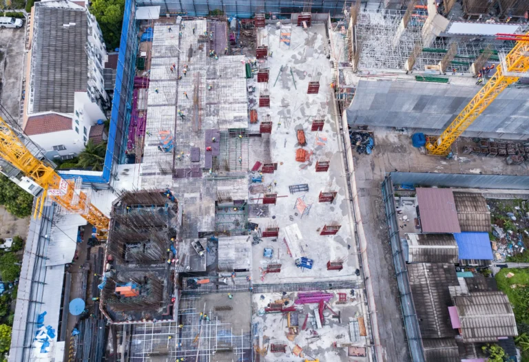
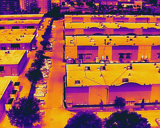
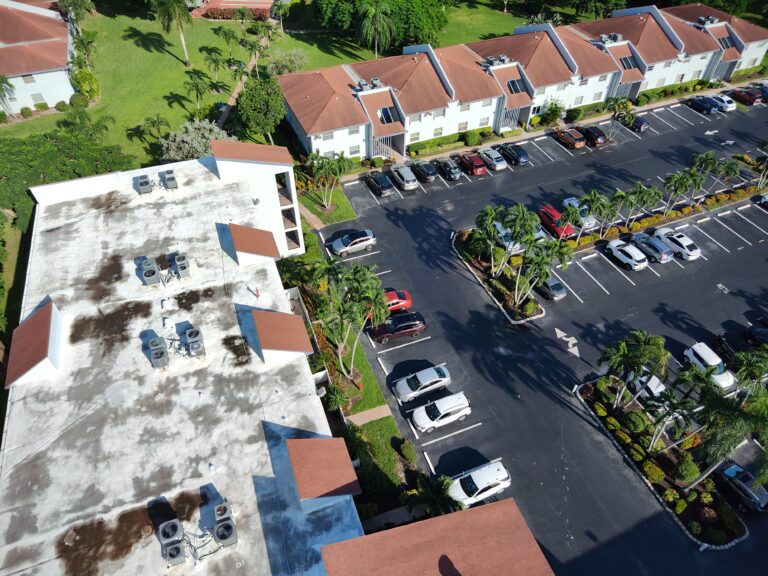
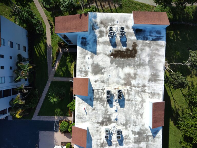
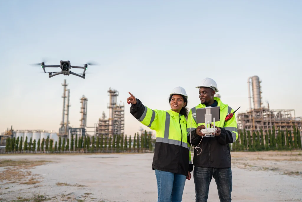
⭐️⭐️⭐️⭐️⭐️ Skylens 360 has been a huge asset to our construction projects. Their drone work gives us clear aerial views, accurate 3D models, and fast updates that help us stay on schedule and make smarter decisions. Avi’s team is professional, responsive, and easy to work with. Highly recommend.